Mecklenburger Seen Runde.
The MSR 300 starts and finishes in Neubrandenburg and runs through the Mecklenburg lake district, combining a clearly marked loop with the distinctive atmosphere of the Mecklenburger Seen Runde.
Mecklenburger Seen Runde 2027: Course, Elevation & Route Profile
The route uses mostly quiet roads through the open landscape of Mecklenburg-Western Pomerania. The MSR 300 is an endurance ride; aid stations and the many lakes along the route help break the long day into manageable sections.
| Start | Length | Ø | Max. | Gain | Cat. |
|---|---|---|---|---|---|
| km 69.5 | 0.3 km | 3.1 % | 4.4 % | +9 m | — |
| km 298.4 | 0.4 km | 3.5 % | 4 % | +14 m | — |
Climb categories follow the road-cycling convention and rate the terrain itself (length and gradient) regardless of sport: Cat. 4 marks the easiest rated climbs, Cat. 1 the hardest, and HC (hors catégorie, “beyond categorization”) is reserved for the most brutal ascents. Short climbs below the Cat. 4 threshold stay unrated.
How to pace Mecklenburger Seen Runde.
Sit in early
Keep the first hours deliberately controlled and do not turn the flatter sections into unnecessary surges.
Race the finale
Regular drinking and fuelling will keep your pace steady all the way back to Neubrandenburg.
Training plan for Mecklenburger Seen Runde: 12-week build
Build endurance
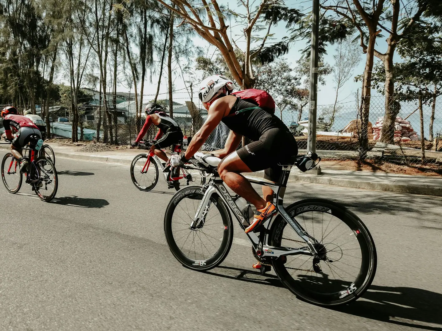
Build long endurance rides on rolling roads and practise fuelling under load.
Arrive fresh
For the long course, preparation should also include several hours of saddle time and calm riding in changing weather.
Courses
Download the Mecklenburger Seen Runde course as a GPX file for your watch or bike computer.
Let YOUB adapt your plan for Mecklenburger Seen Runde dynamically
Ben connects your goal, the course, current load, recovery, and calendar. Your plan stays pointed at race day even when real life is not perfectly plannable.
Everything about Mecklenburger Seen Runde.
How long is Mecklenburger Seen Runde?
Mecklenburger Seen Runde is 300 km long. That distance shapes how much aerobic endurance, pace durability, and race-specific work belong in the training plan.
How much elevation gain does Mecklenburger Seen Runde have?
Mecklenburger Seen Runde has around 1,194 m of elevation gain over 300 km. That affects pacing, muscular load, and preparation for late-race sections.
What is the route profile of Mecklenburger Seen Runde?
Mecklenburger Seen Runde is classified as Flat, averaging 3.9 vertical metres per kilometre. 71% of the route is flat, 15% climbs moderately (2 to 6%) and 0% is steeper than 6%.
What climbs does Mecklenburger Seen Runde have?
The hardest climb of Mecklenburger Seen Runde starts at kilometre 298.4, runs for 0.4 km at an average of 3.5% and gains 14 metres. 2 climbs are mapped in total.
Is Mecklenburger Seen Runde a loop course?
Yes, Mecklenburger Seen Runde is laid out as a loop: start and finish are in the same place.
Is there a GPX file for the Mecklenburger Seen Runde course?
Yes. The Mecklenburger Seen Runde course is on this page as a free GPX download — ready to import into Garmin, Wahoo, Komoot, Strava or any other app that reads GPX.
How should I prepare for Mecklenburger Seen Runde?
Preparation for Mecklenburger Seen Runde should account for 300 km, 1,194 m of elevation gain, current training load, and available training time. An adaptive plan helps place key sessions without ignoring recovery and real life.
What pacing strategy works for Mecklenburger Seen Runde?
The pacing strategy for Mecklenburger Seen Runde should reflect 300 km, 1,194 m of elevation gain, and your current fitness. Start controlled and keep margin for sections where the profile or fatigue makes target pace harder.
When does Mecklenburger Seen Runde take place?
Mecklenburger Seen Runde takes place on May 28, 2027.
Where does Mecklenburger Seen Runde take place?
Mecklenburger Seen Runde takes place in Neubrandenburg, Germany.
Which distances does Mecklenburger Seen Runde offer?
Mecklenburger Seen Runde offers 7 distances — MSR 300: 300 km; Frauen MSR 100: 100 km; MINI MSR 2 km: 2 km; MINI MSR 4 km: 4 km; MINI MSR 6 km: 6 km; MINI MSR geführt 25 km: 25 km and 1 more.
How do I register for Mecklenburger Seen Runde?
Registration runs through the organiser: mecklenburger-seen-runde.de. YOUB shows you the course, elevation profile and training plan for your preparation.