Engiadina Scuol Trail.
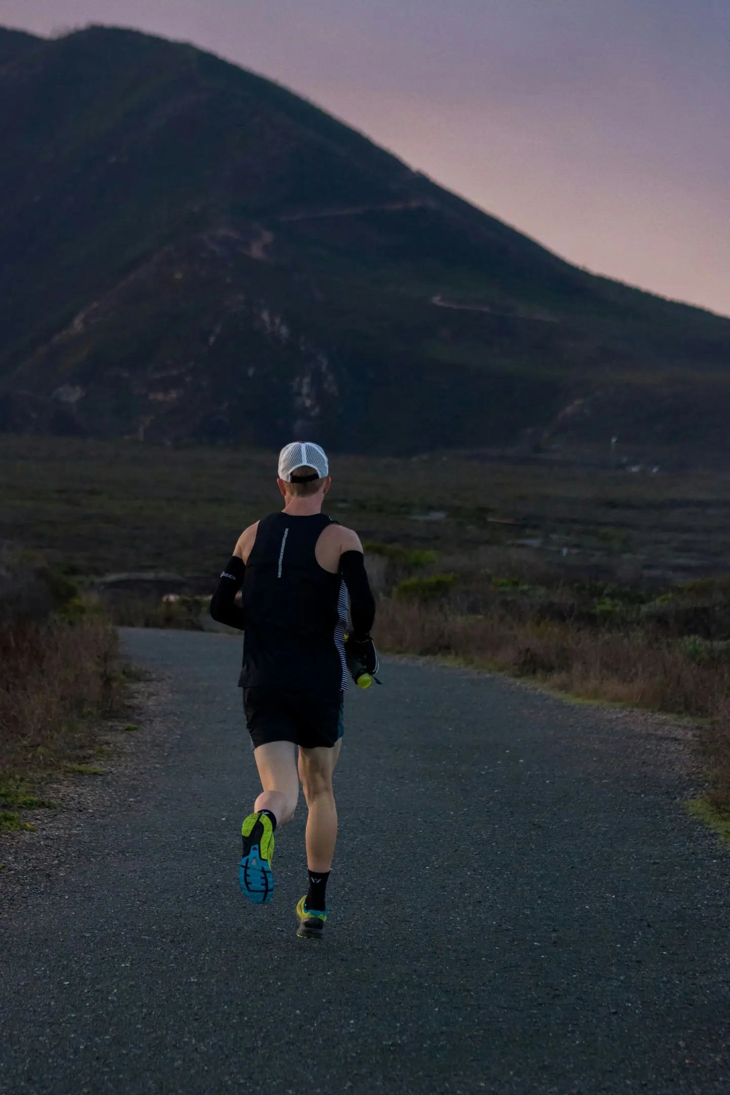
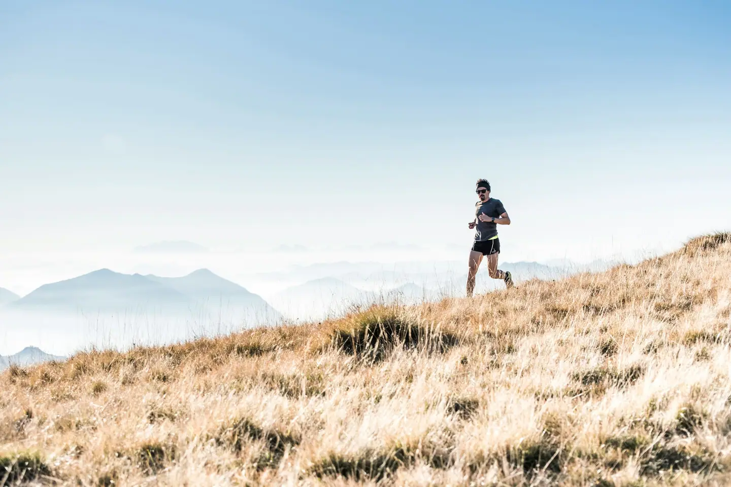
The 48-kilometre Alvetern Trail crosses the high-alpine landscape around Scuol. Two summits and exposed ridge sections make it the most demanding course at the Engiadina Scuol Trail.
Engiadina Scuol Trail 2027: Course, Elevation & Route Profile
The course links long mountain paths, alpine crossings and technical trail sections. About 3,055 metres of climbing are spread across eight substantial ascents, so it demands both endurance and confident footing on changing terrain.
| Start | Length | Ø | Max. | Gain | Cat. |
|---|---|---|---|---|---|
| km 0 | 1 km | 9.2 % | 11.9 % | +94 m | Cat. 4 |
| km 1.5 | 0.4 km | 8.5 % | 10.1 % | +34 m | — |
| km 3.1 | 4 km | 10.7 % | 18.7 % | +424 m | Cat. 2 |
| km 8.6 | 3.1 km | 14.9 % | 21.5 % | +462 m | Cat. 2 |
| km 12.6 | 6.3 km | 14.9 % | 41.1 % | +941 m | HC |
| km 21.4 | 1.7 km | 18.5 % | 36.1 % | +305 m | Cat. 3 |
| km 28.4 | 1 km | 14.7 % | 20.5 % | +143 m | Cat. 4 |
| km 29.6 | 3.8 km | 13.5 % | 47.8 % | +517 m | Cat. 2 |
Climb categories follow the road-cycling convention and rate the terrain itself (length and gradient) regardless of sport: Cat. 4 marks the easiest rated climbs, Cat. 1 the hardest, and HC (hors catégorie, “beyond categorization”) is reserved for the most brutal ascents. Short climbs below the Cat. 4 threshold stay unrated.
How to pace Engiadina Scuol Trail.
Start under control
Keep the opening climbs deliberately controlled and save energy for the summits and ridge sections.
Spend what is left
Use the long descents for a flowing stride, while avoiding unnecessary risk on technical ground.
Training plan for Engiadina Scuol Trail: 12-week build
Build the base
Preparation should combine long runs of more than three hours, repeated climbs and technical downhill practice.
Arrive fresh
Add calf and trunk strength work and practise fuelling for a long alpine race day.
Courses
Download the Engiadina Scuol Trail course as a GPX file for your watch or bike computer.
Let YOUB adapt your plan for Engiadina Scuol Trail dynamically
Ben connects your goal, the course, current load, recovery, and calendar. Your plan stays pointed at race day even when real life is not perfectly plannable.
Everything about Engiadina Scuol Trail.
How long is Engiadina Scuol Trail?
Engiadina Scuol Trail is 48 km long. That distance shapes how much aerobic endurance, pace durability, and race-specific work belong in the training plan.
How much elevation gain does Engiadina Scuol Trail have?
Engiadina Scuol Trail has around 3,055 m of elevation gain over 48 km. That affects pacing, muscular load, and preparation for late-race sections.
What is the route profile of Engiadina Scuol Trail?
Engiadina Scuol Trail is classified as Mountainous, averaging 66.5 vertical metres per kilometre. 2% of the route is flat, 10% climbs moderately (2 to 6%) and 40% is steeper than 6%.
What climbs does Engiadina Scuol Trail have?
The hardest climb of Engiadina Scuol Trail starts at kilometre 12.6, runs for 6.3 km at an average of 14.9% and gains 941 metres. Cycling-convention rating: HC. 8 climbs are mapped in total.
Is Engiadina Scuol Trail a loop course?
Yes, Engiadina Scuol Trail is laid out as a loop: start and finish are in the same place.
Is there a GPX file for the Engiadina Scuol Trail course?
Yes. The Engiadina Scuol Trail course is on this page as a free GPX download — ready to import into Garmin, Wahoo, Komoot, Strava or any other app that reads GPX.
How should I prepare for Engiadina Scuol Trail?
Preparation for Engiadina Scuol Trail should account for 48 km, 3,055 m of elevation gain, current training load, and available training time. An adaptive plan helps place key sessions without ignoring recovery and real life.
What pacing strategy works for Engiadina Scuol Trail?
The pacing strategy for Engiadina Scuol Trail should reflect 48 km, 3,055 m of elevation gain, and your current fitness. Start controlled and keep margin for sections where the profile or fatigue makes target pace harder.
When does Engiadina Scuol Trail 2027 take place?
Engiadina Scuol Trail 2027 takes place on June 26, 2027.
Where does Engiadina Scuol Trail 2027 take place?
Engiadina Scuol Trail 2027 takes place in Scuol, Switzerland.
Which distances does Engiadina Scuol Trail offer?
Engiadina Scuol Trail offers 4 distances — Alvetern Trail: 48 km; Enziana Trail: 21 km (Half marathon); La Motta Trail: 14 km; Flurina Trail Family / Gruppen: 6 km.
How do I register for Engiadina Scuol Trail?
Registration runs through the organiser: scuol-trail.ch. YOUB shows you the course, elevation profile and training plan for your preparation.