Triathlon Obernai-Benfeld.
The Triathlon L at Obernai-Benfeld is the long format of the Obernai-Benfeld triathlon, held for the 27th time in 2027: a 2.1 km swim in the lake at Benfeld, 82 km on the bike over Mont Sainte-Odile and the Champ du Feu, and two run laps through Obernai. It is a PTO Bronze race, and it is decided in the Vosges.
Triathlon Obernai-Benfeld 2027: Course, Elevation & Route Profile
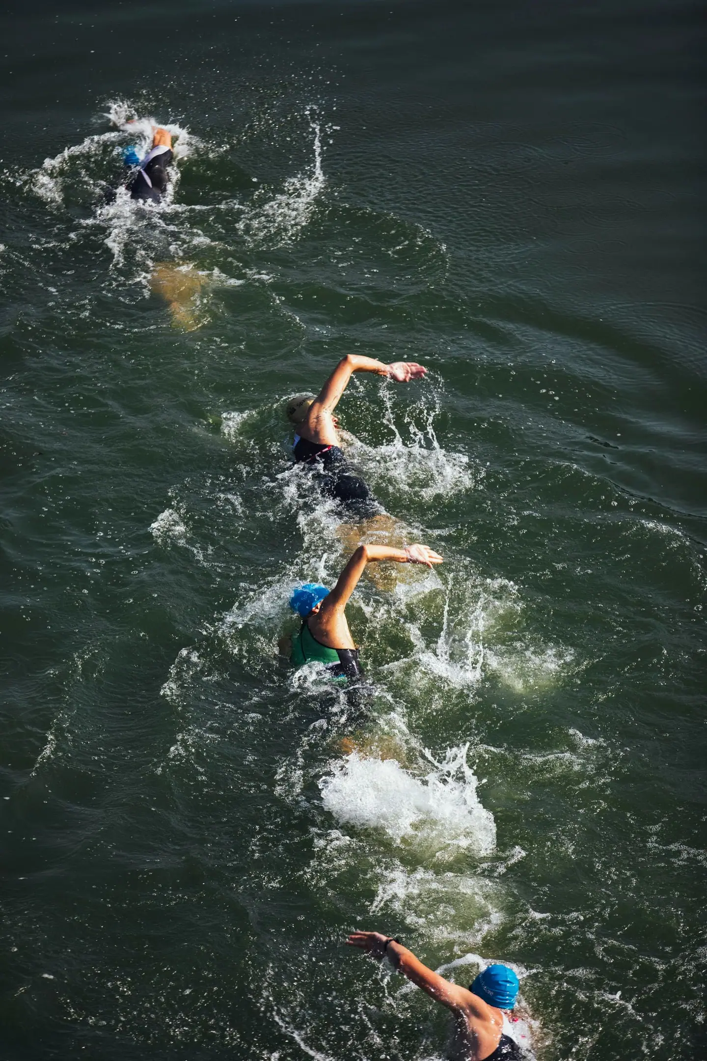
The race starts at the lake in Benfeld with a 2,100 m swim and two Australian exits across the sand beach. In the first transition you change in closed tents; the organisers take your swim kit to Obernai.
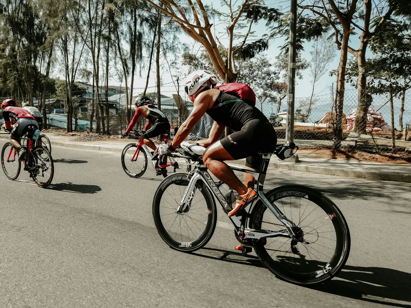
The bike is point-to-point: flat across the plain first, then two big climbs over Mont Sainte-Odile up to the Champ du Feu and back over Sainte-Odile down to Obernai. There, in the second transition at the edge of the old town, your run bag hangs on the rack and two 9.3 km laps through town and vineyards follow.
In the 27th edition in 2027 the S, M and L all race on the Sunday, the L first in the morning. Because the transitions are separate, you drop your run kit in Obernai the day before or early on race morning and make your own way to Benfeld; there are no shuttles, and the organisers suggest riding the 16 flat kilometres.
+1,760 m
+315 m
Bike course
82 km · +1,760 m| Start | Length | Ø | Max. | Gain | Cat. |
|---|---|---|---|---|---|
| km 14.3 | 2.1 km | 4.9 % | 9.5 % | +102 m | Cat. 4 |
| km 18.5 | 3.9 km | 5.4 % | 21.6 % | +210 m | Cat. 3 |
| km 22.6 | 3.1 km | 7.5 % | 14.7 % | +231 m | Cat. 3 |
| km 26 | 1.1 km | 5.5 % | 15.4 % | +58 m | — |
| km 30.7 | 1.8 km | 4.2 % | 13.7 % | +75 m | — |
| km 36.1 | 1.1 km | 6.9 % | 13.2 % | +75 m | — |
| km 39.4 | 1.6 km | 5.7 % | 12.5 % | +89 m | Cat. 4 |
| km 42.7 | 4.6 km | 7.4 % | 20.2 % | +339 m | Cat. 2 |
Climb categories follow the road-cycling convention and rate the terrain itself (length and gradient) regardless of sport: Cat. 4 marks the easiest rated climbs, Cat. 1 the hardest, and HC (hors catégorie, “beyond categorization”) is reserved for the most brutal ascents. Short climbs below the Cat. 4 threshold stay unrated.
Run course
18.6 km · +315 m| Start | Length | Ø | Max. | Gain | Cat. |
|---|---|---|---|---|---|
| km 0.7 | 0.5 km | 6.5 % | 12 % | +32 m | — |
| km 2.8 | 0.4 km | 5 % | 8.9 % | +18 m | — |
| km 4 | 0.8 km | 4.8 % | 9.1 % | +39 m | — |
| km 7.8 | 0.4 km | 5.4 % | 7.1 % | +22 m | — |
| km 10.1 | 0.5 km | 6.5 % | 12.4 % | +33 m | — |
| km 12.2 | 0.4 km | 4.9 % | 9 % | +17 m | — |
| km 13.4 | 0.8 km | 4.8 % | 9 % | +39 m | — |
| km 17.1 | 0.4 km | 5.5 % | 7.1 % | +22 m | — |
Climb categories follow the road-cycling convention and rate the terrain itself (length and gradient) regardless of sport: Cat. 4 marks the easiest rated climbs, Cat. 1 the hardest, and HC (hors catégorie, “beyond categorization”) is reserved for the most brutal ascents. Short climbs below the Cat. 4 threshold stay unrated.
How to pace Triathlon Obernai-Benfeld.
Settle into the race
The split is clear: the swim is short enough to take calmly and the run rolling enough to reward restraint on the bike. The bike decides the race, specifically the section from Mont Sainte-Odile to the Champ du Feu.
Spread the effort
The biggest trap is the flat ride after the swim. With adrenaline and an empty flat road it is easy to overcook, and that comes back in the Vosges and on the second run lap. Ride the plain deliberately below your time-trial pace and spend evenly on the climbs.
Finish strong
Plan your fuelling around the three bike aid stations and use the long descents to eat. Reach Obernai with reserves and you can still run the climb from km 4 on the second lap and gain places there.
Training plan for Triathlon Obernai-Benfeld: 12-week build
Build all three disciplines
For capable age-groupers the race takes roughly five and a half to eight hours, most of it on the bike. The effort is long and aerobic, with long climbing stretches near threshold and a rolling run at the end.
Brick sessions
The focus is mountain riding: long rides with two big climbs in the second half, and practice on technical descents. Add brick runs on hilly ground after long rides.
Practise transitions
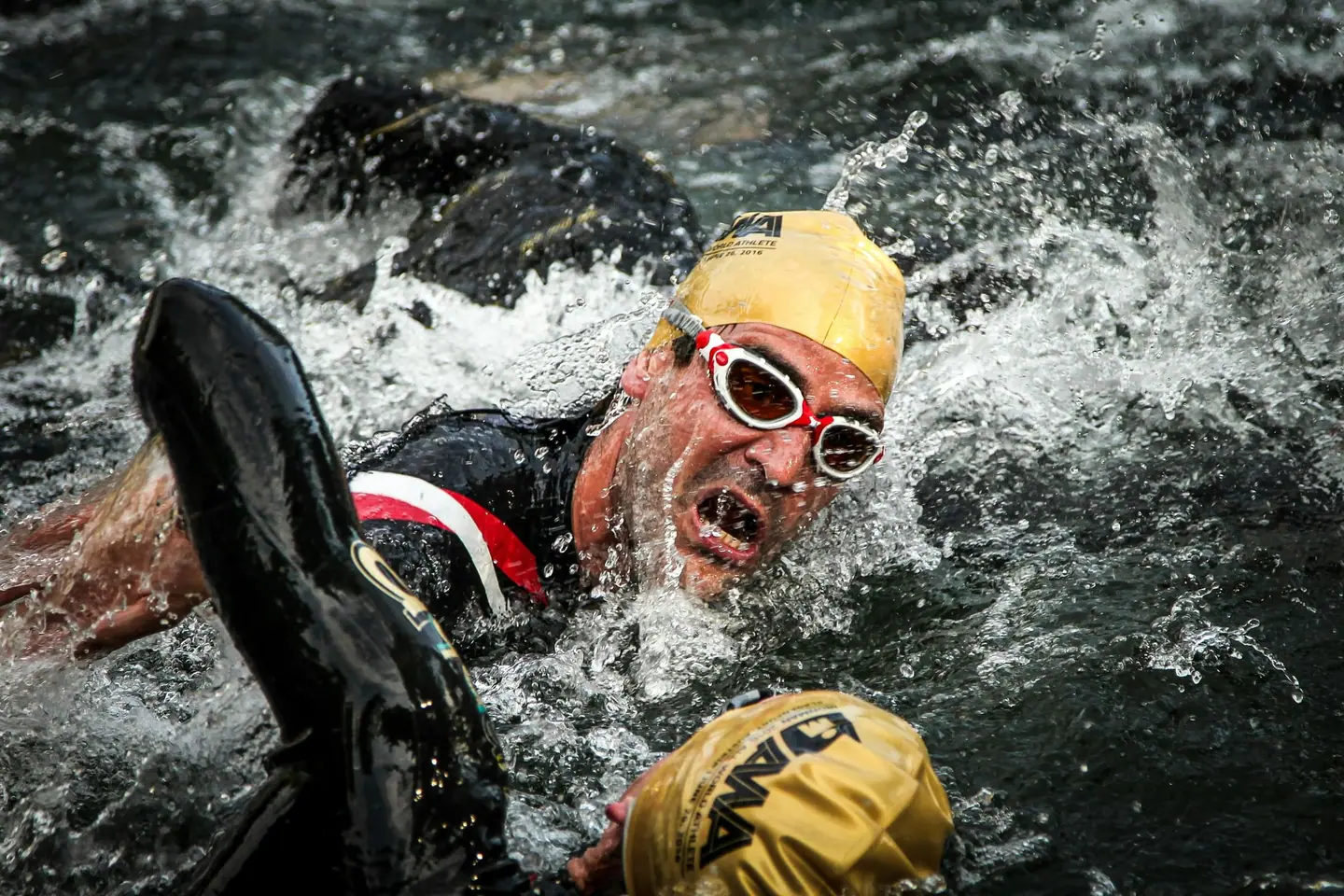
In the water, solid endurance for 2.1 km of open water is enough. Practise the Australian exits and swimming both with and without a wetsuit, since the rule depends on water temperature.
Arrive fresh
In early June the valley can be warm and the Champ du Feu cool. Train your fuelling over the full race duration and think about a layer for the descents.

Courses
Download each leg of Triathlon Obernai-Benfeld as its own GPX file for your watch or bike computer.
Let YOUB adapt your plan for Triathlon Obernai-Benfeld dynamically
Ben connects your goal, the course, current load, recovery, and calendar. Your plan stays pointed at race day even when real life is not perfectly plannable.
Everything about Triathlon Obernai-Benfeld.
How long is Triathlon Obernai-Benfeld?
Triathlon Obernai-Benfeld is 102.7 km long. That distance shapes how much aerobic endurance, pace durability, and race-specific work belong in the training plan.
How much elevation gain does Triathlon Obernai-Benfeld have?
Triathlon Obernai-Benfeld has around 2,075 m of elevation gain over 102.7 km. That affects pacing, muscular load, and preparation for late-race sections.
What is the profile of the bike course at Triathlon Obernai-Benfeld?
The bike course at Triathlon Obernai-Benfeld is classified as Mountainous, averaging 21.7 vertical metres per kilometre. 22% of the route is flat, 29% climbs moderately (2 to 6%) and 9% is steeper than 6%.
What climbs does the bike course at Triathlon Obernai-Benfeld have?
The hardest climb on the bike course at Triathlon Obernai-Benfeld starts at kilometre 42.7, runs for 4.6 km at an average of 7.4% and gains 339 metres. Cycling-convention rating: Cat. 2. 8 climbs are mapped in total.
Is there a GPX file for the Triathlon Obernai-Benfeld course?
Yes. Each leg of Triathlon Obernai-Benfeld is on this page as its own free GPX download — ready to import into Garmin, Wahoo, Komoot, Strava or any other app that reads GPX.
How should I prepare for Triathlon Obernai-Benfeld?
Preparation for Triathlon Obernai-Benfeld should account for 102.7 km, 2,075 m of elevation gain, current training load, and available training time. An adaptive plan helps place key sessions without ignoring recovery and real life.
What pacing strategy works for Triathlon Obernai-Benfeld?
The pacing strategy for Triathlon Obernai-Benfeld should reflect 102.7 km, 2,075 m of elevation gain, and your current fitness. Start controlled and keep margin for sections where the profile or fatigue makes target pace harder.
When does Triathlon Obernai-Benfeld take place?
Triathlon Obernai-Benfeld takes place on June 5, 2027.
Where does Triathlon Obernai-Benfeld take place?
Triathlon Obernai-Benfeld takes place in Obernai, France.
Which distances does Triathlon Obernai-Benfeld offer?
Triathlon Obernai-Benfeld offers 4 distances — Triathlon L: 102.7 km; Triathlon M: 56.7 km; Triathlon S: 29.3 km; Triathlon XS: 12.82 km.
How do I register for Triathlon Obernai-Benfeld?
Registration runs through the organiser: triathlon-obernai.fr. YOUB shows you the course, elevation profile and training plan for your preparation.