Colnago GF Mont Ventoux.
The Colnago GF Mont Ventoux Granfondo saves the hardest part for last: after roughly 100 km through the Monts de Vaucluse and the Gorges de la Nesque comes Mont Ventoux by its south face from Bédoin, with the finish on the summit. Getting through it means pacing the day so that there is still something left at the foot of the Giant of Provence. Also known as GF Mont Ventoux.
Colnago GF Mont Ventoux 2027: Course, Elevation & Route Profile
The start is early in the morning in Vaison-la-Romaine, a mass start along the avenue du Général de Gaulle. The opening hours run on small roads through Provençal villages, AOC Ventoux vineyards and, in early June, lavender in flower. After Bédoin and Flassan the first longer climb begins at km 29, and the route then drops through Villes-sur-Auzon into the Gorges de la Nesque, a long, gently rising gorge road to Monieux.
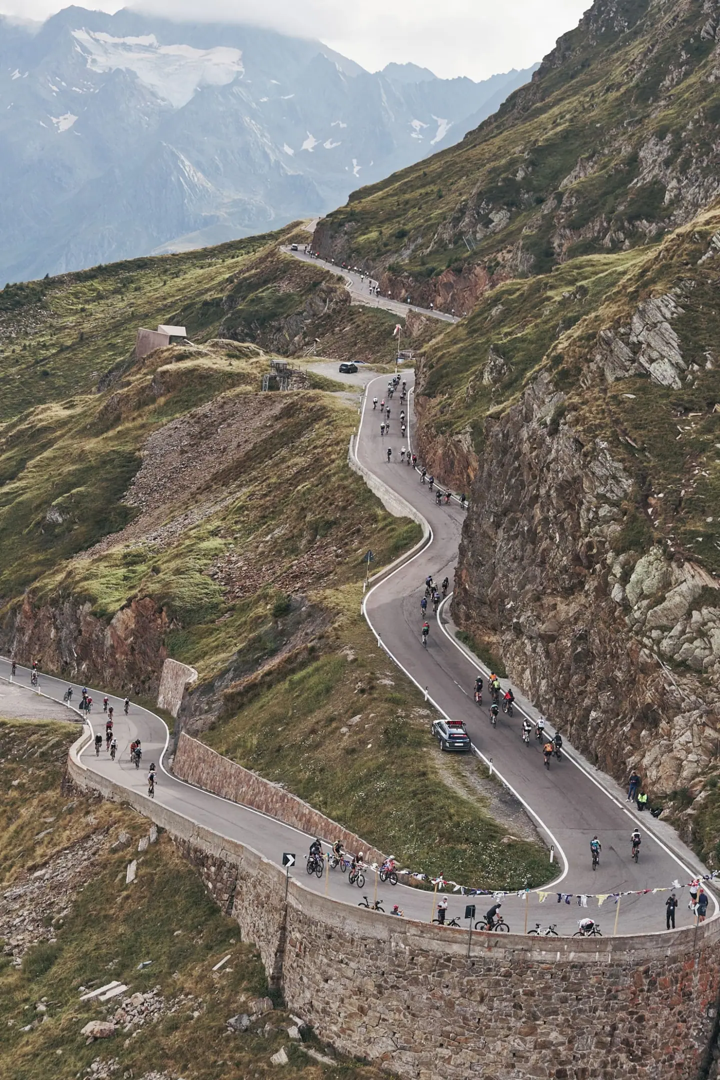
At km 75 the Granfondo leaves the Mediofondo. Instead of climbing to the summit via Sault, it turns back west, passes La Gabelle and Flassan a second time and reaches Sainte-Colombe at the foot of the Ventoux at km 103. This is where the classic climb from Bédoin starts: beyond Saint-Estève the road kicks up to around ten percent in the forest and stays there for more than six kilometres.
The forest ends at the Chalet Reynard, km 114, and the last six kilometres cross the bare, pale scree of the summit cone, fully exposed to wind and sun. The finish is on the summit; the recovery feed is down the north side at the Mont Serein station, on the way back to Vaison.
| Start | Length | Ø | Max. | Gain | Cat. |
|---|---|---|---|---|---|
| km 29 | 5.1 km | 5.9 % | 14.9 % | +299 m | Cat. 3 |
| km 34.3 | 3.4 km | 5.2 % | 12.3 % | +177 m | Cat. 3 |
| km 102.2 | 2.1 km | 5 % | 11.7 % | +103 m | Cat. 4 |
| km 104.5 | 2.1 km | 9.9 % | 18.3 % | +202 m | Cat. 3 |
| km 106.7 | 6.6 km | 9.6 % | 16.8 % | +633 m | Cat. 2 |
| km 113.5 | 1.6 km | 7.9 % | 16.8 % | +128 m | Cat. 4 |
| km 115.3 | 3 km | 7.6 % | 30 % | +227 m | Cat. 3 |
| km 119.1 | 0.9 km | 12.5 % | 34 % | +115 m | Cat. 4 |
Climb categories follow the road-cycling convention and rate the terrain itself (length and gradient) regardless of sport: Cat. 4 marks the easiest rated climbs, Cat. 1 the hardest, and HC (hors catégorie, “beyond categorization”) is reserved for the most brutal ascents. Short climbs below the Cat. 4 threshold stay unrated.
How to pace Colnago GF Mont Ventoux.
Sit in early
The first 100 km are preparation, not racing. The big bunch after the mass start rides fast, and the gentle gradient of the Gorges de la Nesque invites high speeds in groups. Sit in, but below threshold, eat and drink on a schedule and keep an eye on the clock: from 11:50 riders at the km 75 fork are diverted onto the Mediofondo, and the Sainte-Colombe control closes at 13:00.
Ration your effort
Everything is decided on the six-plus kilometres of forest above Saint-Estève. Gradients around ten percent allow no recovery. Overreach here and you lose many times that on the final kilometres from the Chalet Reynard. Choose an output you can hold for an hour or more, and gearing that keeps your cadence round when you are tired.
Race the finale
The trap is the summit cone. The gradient seems to ease, but wind and heat on the open scree drain you, and the final stretch below the summit steepens again.
Training plan for Colnago GF Mont Ventoux: 12-week build
Build endurance
A committed age-group rider needs roughly five to seven hours to the summit. The effort falls into two parts: a long, mostly aerobic group ride over rolling terrain, and a mountain time trial of 20-odd kilometres at the end, during which you climb without a break for about 90 minutes to two and a half hours.
Train the climbs
What decides the day is being able to ride that climb evenly after five hours in the saddle. Build long rides that finish on a long climb, and do intervals of 20 to 45 minutes just below threshold on gradients of eight to ten percent. Make fuelling part of training too: whatever you fail to eat on the flatter first half you pay for on the Ventoux.
Ride race-specific
Conditions are Provençal and alpine at once. Early June can already be hot in the valley, and on the bare summit you are fully exposed to sun and wind. Acclimatise to heat, carry enough bottles, and use the option of having a bag of warm clothing taken to the summit, because the descent via Mont Serein is long.
Arrive fresh
Work on your gearing as well: a low gear that keeps your cadence above 70 on the Ventoux spares your legs more than any tactic.

Courses
Download the Colnago GF Mont Ventoux course as a GPX file for your watch or bike computer.
Let YOUB adapt your plan for Colnago GF Mont Ventoux dynamically
Ben connects your goal, the course, current load, recovery, and calendar. Your plan stays pointed at race day even when real life is not perfectly plannable.
Everything about Colnago GF Mont Ventoux.
How long is Colnago GF Mont Ventoux?
Colnago GF Mont Ventoux is 120 km long. That distance shapes how much aerobic endurance, pace durability, and race-specific work belong in the training plan.
How much elevation gain does Colnago GF Mont Ventoux have?
Colnago GF Mont Ventoux has around 4,081 m of elevation gain over 120 km. That affects pacing, muscular load, and preparation for late-race sections.
What is the route profile of Colnago GF Mont Ventoux?
Colnago GF Mont Ventoux is classified as Mountainous, averaging 33.9 vertical metres per kilometre. 14% of the route is flat, 36% climbs moderately (2 to 6%) and 16% is steeper than 6%.
What climbs does Colnago GF Mont Ventoux have?
The hardest climb of Colnago GF Mont Ventoux starts at kilometre 106.7, runs for 6.6 km at an average of 9.6% and gains 633 metres. Cycling-convention rating: Cat. 2. 8 climbs are mapped in total.
Is Colnago GF Mont Ventoux a loop course?
No, Colnago GF Mont Ventoux is a point-to-point course: start and finish are in different places.
Is there a GPX file for the Colnago GF Mont Ventoux course?
Yes. The Colnago GF Mont Ventoux course is on this page as a free GPX download — ready to import into Garmin, Wahoo, Komoot, Strava or any other app that reads GPX.
How should I prepare for Colnago GF Mont Ventoux?
Preparation for Colnago GF Mont Ventoux should account for 120 km, 4,081 m of elevation gain, current training load, and available training time. An adaptive plan helps place key sessions without ignoring recovery and real life.
What pacing strategy works for Colnago GF Mont Ventoux?
The pacing strategy for Colnago GF Mont Ventoux should reflect 120 km, 4,081 m of elevation gain, and your current fitness. Start controlled and keep margin for sections where the profile or fatigue makes target pace harder.
When does Colnago GF Mont Ventoux take place?
Colnago GF Mont Ventoux takes place on June 6, 2027.
Where does Colnago GF Mont Ventoux take place?
Colnago GF Mont Ventoux takes place in Vaison-la-Romaine, France.
Which distances does Colnago GF Mont Ventoux offer?
Colnago GF Mont Ventoux offers 2 distances — Granfondo 120 km: 120 km; Mediofondo 101 km: 101 km.
How do I register for Colnago GF Mont Ventoux?
Registration runs through the organiser: gfmontventoux.com. YOUB shows you the course, elevation profile and training plan for your preparation.