Serre Chevalier Altitude Challenge.
The Serre Chevalier Altitude Challenge is not a mass-start sportive over a fixed route. From the Centre Montagne in Villard-Saint-Pancrace the road race sends you up five climbs around Briançon in whatever order you choose, and only the sum of your five climbing times counts. With the Izoard, the Granon and the Croix de Toulouse on the list, it is a full high-mountain day.
Serre Chevalier Altitude Challenge 2027: Course, Elevation & Route Profile
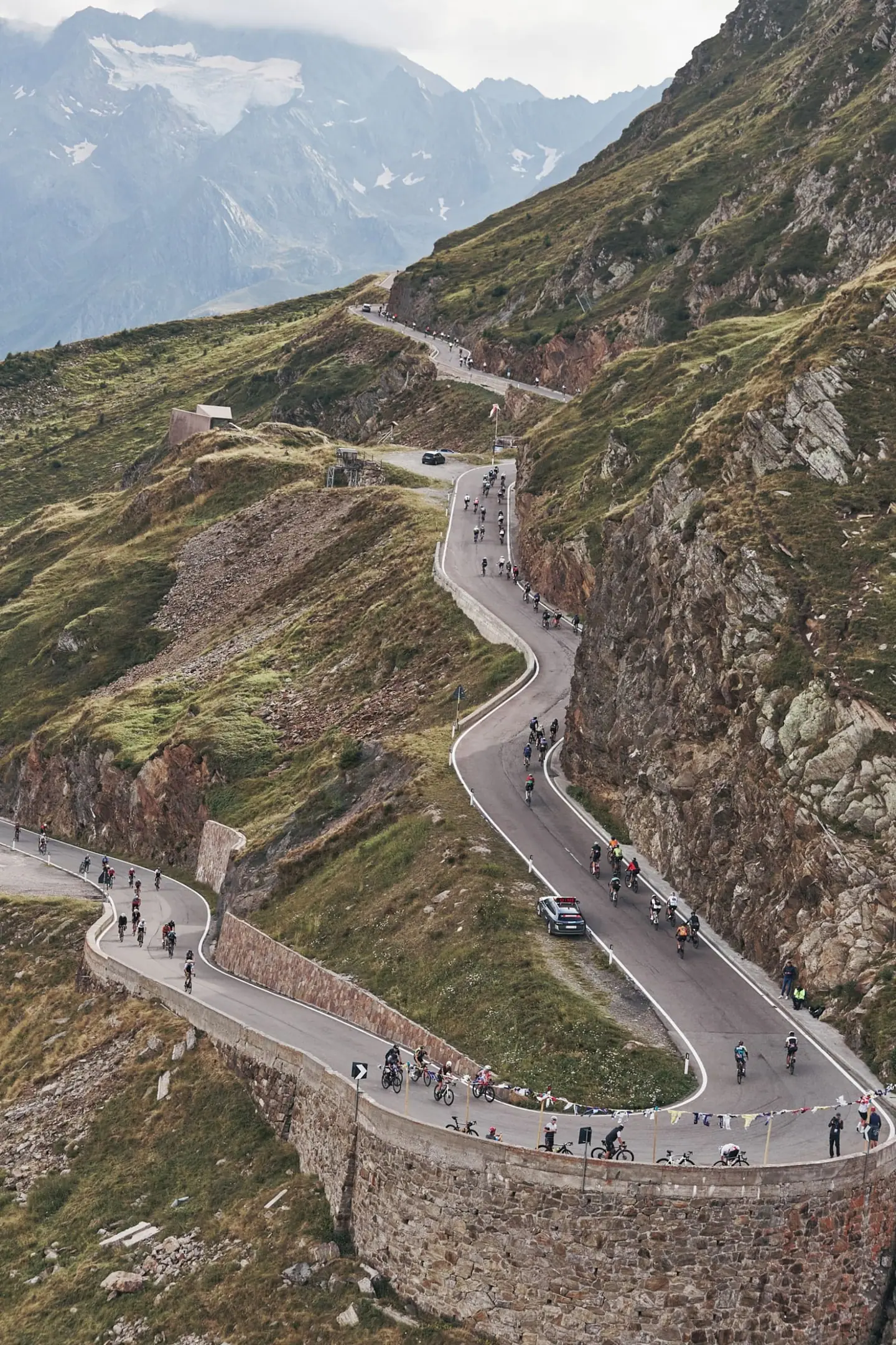
Every climb starts from the Durance valley and ends at the top, and you roll back down untimed. The longest is the Col d'Izoard by its north side from Briançon: the lower section is not timed and works as a warm-up, while the timed upper half gets clearly steeper and runs almost entirely through forest. From the pass you drop a little way down the south side to climb back through the Casse Déserte, a bare scree landscape, past the memorial to Coppi and Bobet.
The Col du Granon above Saint-Chaffrey is the hardest piece of the day: about ten kilometres with hardly a stretch below ten percent, topping out above 2,400 metres. The Croix de Toulouse, right above Briançon, packs 25 hairpins into a few kilometres and is known locally as the Alpe d'Huez of the Briançonnais. The short ramp up to Puy-Saint-Pierre, with its wooden chalets and its view over the Durance valley, makes a good closer.
The race runs in July on open roads: the highway code applies and cutting corners means disqualification. Between climbs you pass the hub with its feed zone at the start, and there is a second feed zone out on the course. The result is a star-shaped course where you return to the valley after every mountain, and the length of the day depends on the order you pick.
| Start | Length | Ø | Max. | Gain | Cat. |
|---|---|---|---|---|---|
| km 2.2 | 2.8 km | 7.9 % | 20.8 % | +221 m | Cat. 3 |
| km 10.4 | 10.4 km | 7.4 % | 22.9 % | +771 m | Cat. 1 |
| km 26.8 | 1.5 km | 7.8 % | 26.6 % | +119 m | Cat. 4 |
| km 29 | 1.8 km | 9.3 % | 27.2 % | +168 m | Cat. 3 |
| km 51.5 | 4.6 km | 8.9 % | 33 % | +411 m | Cat. 2 |
| km 56.2 | 1.5 km | 11.2 % | 34.9 % | +163 m | Cat. 3 |
| km 64.7 | 11.7 km | 9 % | 23.6 % | +1,054 m | HC |
| km 93.1 | 4.3 km | 7.8 % | 26.9 % | +338 m | Cat. 2 |
Climb categories follow the road-cycling convention and rate the terrain itself (length and gradient) regardless of sport: Cat. 4 marks the easiest rated climbs, Cat. 1 the hardest, and HC (hors catégorie, “beyond categorization”) is reserved for the most brutal ascents. Short climbs below the Cat. 4 threshold stay unrated.
How to pace Serre Chevalier Altitude Challenge.
Sit in early
Because only the climbs count, your order is the real pacing decision. The Granon and the Izoard are the two long timed efforts where minutes are lost; put at least one of them early, while your legs are fresh and the air at altitude is still cool. The Croix de Toulouse and Puy-Saint-Pierre are short enough to ride cleanly even when tired.
Ration your effort
The Granon decides the ranking. Ride it evenly at or just under threshold: on a climb with no flat relief, an over-cooked first kilometre never comes back. On the Izoard, keep the untimed lower section genuinely easy and only lift the effort once the timed segment begins.
Race the finale
The main trap lies in the descents and transfers. They are untimed, so there is no reason to take risks or push there; use them to eat, drink and recover. Chasing a group along the valley costs you on the next climb.
Training plan for Serre Chevalier Altitude Challenge: 12-week build
Build endurance
For most amateur riders this is a six to eight hour day in the saddle, of which two and a half to four hours are timed climbing depending on form; the organiser puts the fastest riders at around two hours of climbing time. The load alternates between five hard, steady climbing blocks at or below threshold and long easy stretches in between.
Train the climbs
Train exactly that structure: several long climbs in one day, each one ridden under control, with genuine recovery between them. Threshold intervals of 30 to 50 minutes prepare you for the Granon and the Izoard, shorter and steeper 15 to 20 minute repeats for the hairpins of the Croix de Toulouse.
Ride race-specific
The Granon, with its sustained double-digit gradients, calls for suitable gearing and strength endurance at low cadence; practise long steep sections seated. Restarting matters just as much: going cold from a descent straight into the next pass feels unfamiliar, so rehearse it on your long rides.
Arrive fresh
The climbs top out between roughly 1,500 and more than 2,400 metres. In early July the valley can be hot while the summits are cool and windy; carry a gilet and wind protection for the descents, and practise eating regularly on the bike, since food is only at the hub and one other feed zone.

Courses
Download the Serre Chevalier Altitude Challenge course as a GPX file for your watch or bike computer.
Let YOUB adapt your plan for Serre Chevalier Altitude Challenge dynamically
Ben connects your goal, the course, current load, recovery, and calendar. Your plan stays pointed at race day even when real life is not perfectly plannable.
Everything about Serre Chevalier Altitude Challenge.
How long is Serre Chevalier Altitude Challenge?
Serre Chevalier Altitude Challenge is 109 km long. That distance shapes how much aerobic endurance, pace durability, and race-specific work belong in the training plan.
How much elevation gain does Serre Chevalier Altitude Challenge have?
Serre Chevalier Altitude Challenge has around 4,142 m of elevation gain over 109 km. That affects pacing, muscular load, and preparation for late-race sections.
What is the route profile of Serre Chevalier Altitude Challenge?
Serre Chevalier Altitude Challenge is classified as Mountainous, averaging 39.2 vertical metres per kilometre. 7% of the route is flat, 24% climbs moderately (2 to 6%) and 22% is steeper than 6%.
What climbs does Serre Chevalier Altitude Challenge have?
The hardest climb of Serre Chevalier Altitude Challenge starts at kilometre 64.7, runs for 11.7 km at an average of 9% and gains 1,054 metres. Cycling-convention rating: HC. 8 climbs are mapped in total.
Is Serre Chevalier Altitude Challenge a loop course?
Yes, Serre Chevalier Altitude Challenge is laid out as a loop: start and finish are in the same place.
Is there a GPX file for the Serre Chevalier Altitude Challenge course?
Yes. The Serre Chevalier Altitude Challenge course is on this page as a free GPX download — ready to import into Garmin, Wahoo, Komoot, Strava or any other app that reads GPX.
How should I prepare for Serre Chevalier Altitude Challenge?
Preparation for Serre Chevalier Altitude Challenge should account for 109 km, 4,142 m of elevation gain, current training load, and available training time. An adaptive plan helps place key sessions without ignoring recovery and real life.
What pacing strategy works for Serre Chevalier Altitude Challenge?
The pacing strategy for Serre Chevalier Altitude Challenge should reflect 109 km, 4,142 m of elevation gain, and your current fitness. Start controlled and keep margin for sections where the profile or fatigue makes target pace harder.
When does Serre Chevalier Altitude Challenge take place?
Serre Chevalier Altitude Challenge takes place on July 4, 2027.
Where does Serre Chevalier Altitude Challenge take place?
Serre Chevalier Altitude Challenge takes place in Villar-Saint-Pancrace, France.
Which distances does Serre Chevalier Altitude Challenge offer?
Serre Chevalier Altitude Challenge offers 2 distances — Epreuve Route: 109 km; Epreuve Gravel: 103 km.
How do I register for Serre Chevalier Altitude Challenge?
Registration runs through the organiser: serrechevalieraltitudechallenge.com. YOUB shows you the course, elevation profile and training plan for your preparation.