L'Alsacienne.
The GF 195 km is the longest of L'Alsacienne's three timed routes and a pure mountain day across the High Vosges: thirteen ascents, from the Col d'Oderen over the Haag, the Petit Ballon and the Platzerwasel to a final loop over the Bramont and the Route des Américains. To ride all of it you have to be back at the Lac de Kruth inside the cut-off at kilometre 145.
L'Alsacienne 2027: Course, Elevation & Route Profile
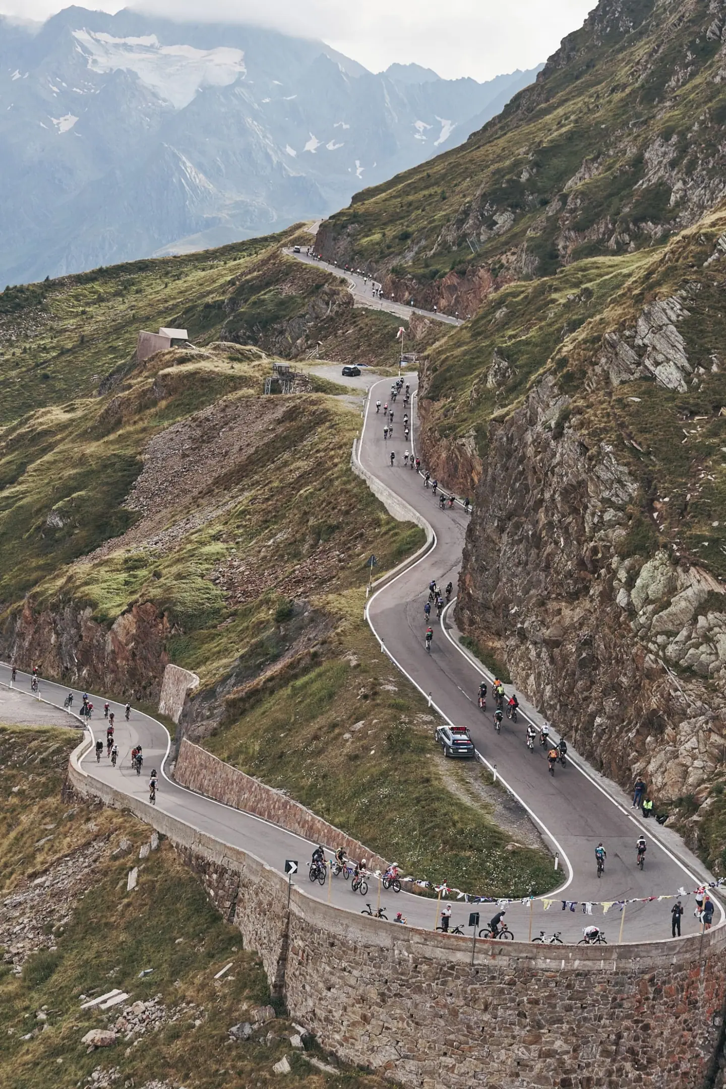
All five routes start together at the Kruth-Wildenstein mountain lake in the upper Thur valley. The gran fondo opens straight onto the Col d'Oderen, closed to cars for the riders that morning, and adds the Col du Page and Col de Bussang. After a recovery stretch down the Thur valley comes the Haag from Saint-Amarin, a climb with twelve per cent on its first and last kilometre that delivers you onto the Route des Crêtes. Over the Markstein you drop into the Guebwiller valley, and then the Bannstein, Firstplan, Petit Ballon and Platzerwasel follow one another; the Petit Ballon past the Virage Pinot and the Platzerwasel up to the Breitfirst are the hardest ramps of the day, both familiar from the Tour de France.
The scenery never settles: dense forest in the morning, then the open high pastures of the chaumes with their farm inns and Vosges cattle, and villages such as Sondernach and Wasserbourg in between. Most of the course runs on open roads, with some cols closed to traffic for the event.
After the second pass over the Markstein a long descent brings you back to the lake, and there the cut-off at kilometre 145 decides whether you may ride the final loop. It asks for everything again: eight kilometres of the Col du Bramont, straight into the Route des Américains at around 7.5 per cent for four kilometres, then the Col des Feignes and the Bramont from the La Bresse side before the last descent to the finish.
| Start | Length | Ø | Max. | Gain | Cat. |
|---|---|---|---|---|---|
| km 4.9 | 4.2 km | 6.5 % | 21.5 % | +272 m | Cat. 3 |
| km 38.5 | 1.7 km | 10.9 % | 26.5 % | +182 m | Cat. 3 |
| km 84.2 | 2.5 km | 7.5 % | 21.2 % | +190 m | Cat. 3 |
| km 94.7 | 3.3 km | 7.2 % | 20.8 % | +240 m | Cat. 3 |
| km 101.4 | 3.2 km | 8.2 % | 16.6 % | +264 m | Cat. 3 |
| km 115.4 | 6.4 km | 8.6 % | 29.5 % | +544 m | Cat. 2 |
| km 154.3 | 4.3 km | 7.1 % | 27.1 % | +302 m | Cat. 3 |
| km 179.7 | 2.7 km | 7.6 % | 21.5 % | +205 m | Cat. 3 |
Climb categories follow the road-cycling convention and rate the terrain itself (length and gradient) regardless of sport: Cat. 4 marks the easiest rated climbs, Cat. 1 the hardest, and HC (hors catégorie, “beyond categorization”) is reserved for the most brutal ascents. Short climbs below the Cat. 4 threshold stay unrated.
How to pace L'Alsacienne.
Sit in early
With thirteen ascents there is almost no flat road on which to win time back; the day is gained through steady power on the climbs and through eating on the descents. The first three cols come on fresh legs inside the bunch that all five routes form together, and that is where the temptation to follow riders on the shorter distances is strongest.
Ration your effort
The day is decided between the Bannstein and the Platzerwasel. The Petit Ballon has pitches the organiser puts close to twenty per cent, and the Platzerwasel is hardly easier, only it comes well past the hundred-kilometre mark. If you can still turn a calm cadence there, the final loop is realistic.
Race the finale
The biggest trap is the cut-off itself: at kilometre 53 on the Markstein you are redirected onto the PF 120 km from 10:30, and at kilometre 145 onto the MF 150 km from 14:15. Pace the run to the Markstein so you clear the first limit with room to spare without burning your legs on the Haag, because with that fatigue the final loop over the Bramont and the Route des Américains rides like a hors catégorie climb.
Training plan for L'Alsacienne: 12-week build
Build endurance
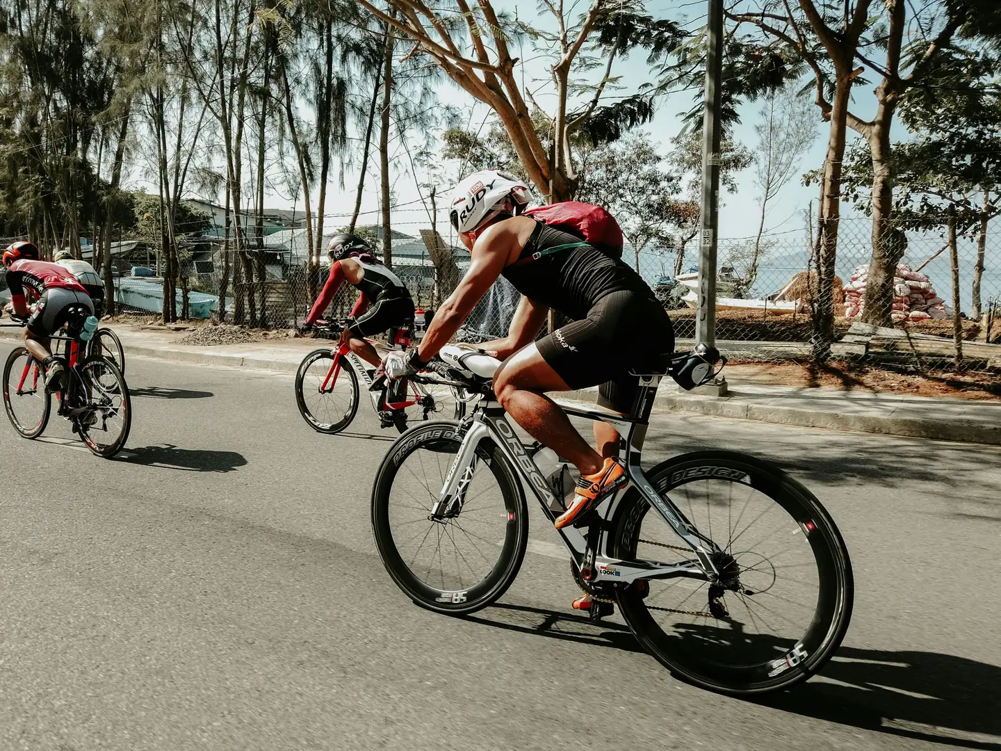
For age-group riders the GF 195 km means eight to eleven hours in the saddle; the front of the race needs a little over six. The effort is a constant swing between long climbing blocks near threshold and descents where the heart rate falls, with almost no flat road to recover on. It is less a question of peak power than of still turning the same watts on the tenth or twelfth climb as on the first.
Train the climbs
The decisive parts are the Petit Ballon and Platzerwasel block after about a hundred kilometres and the final loop beyond the cut-off. Both ask for climbing under accumulated fatigue on steep ramps where too big a gear ends your day. Fit gearing that lets you ride twenty per cent seated.
Ride race-specific
In training, long rides with plenty of climbing are the core, ideally with the hardest ascents in the second half. Ten- to twenty-minute intervals just under threshold build the base for the cols, and repeated hill efforts on steep ramps prepare you for the Haag and the Petit Ballon. Practise eating and drinking on descents as well, because there is little other time for it on this course.
Arrive fresh
The route climbs several times above 1,200 metres onto the open ridges of the Route des Crêtes, while the early-morning start sits beside a mountain lake down in the valley. Plan clothing for cool descents and train long, clean descending through hairpins, because this gran fondo has as many of them as it has climbs.

Courses
Download the L'Alsacienne course as a GPX file for your watch or bike computer.
Let YOUB adapt your plan for L'Alsacienne dynamically
Ben connects your goal, the course, current load, recovery, and calendar. Your plan stays pointed at race day even when real life is not perfectly plannable.
Everything about L'Alsacienne.
How long is L'Alsacienne?
L'Alsacienne is 195 km long. That distance shapes how much aerobic endurance, pace durability, and race-specific work belong in the training plan.
How much elevation gain does L'Alsacienne have?
L'Alsacienne has around 6,144 m of elevation gain over 195 km. That affects pacing, muscular load, and preparation for late-race sections.
What is the route profile of L'Alsacienne?
L'Alsacienne is classified as Mountainous, averaging 31.4 vertical metres per kilometre. 10% of the route is flat, 26% climbs moderately (2 to 6%) and 16% is steeper than 6%.
What climbs does L'Alsacienne have?
The hardest climb of L'Alsacienne starts at kilometre 115.4, runs for 6.4 km at an average of 8.6% and gains 544 metres. Cycling-convention rating: Cat. 2. 8 climbs are mapped in total.
Is L'Alsacienne a loop course?
Yes, L'Alsacienne is laid out as a loop: start and finish are in the same place.
Is there a GPX file for the L'Alsacienne course?
Yes. The L'Alsacienne course is on this page as a free GPX download — ready to import into Garmin, Wahoo, Komoot, Strava or any other app that reads GPX.
How should I prepare for L'Alsacienne?
Preparation for L'Alsacienne should account for 195 km, 6,144 m of elevation gain, current training load, and available training time. An adaptive plan helps place key sessions without ignoring recovery and real life.
What pacing strategy works for L'Alsacienne?
The pacing strategy for L'Alsacienne should reflect 195 km, 6,144 m of elevation gain, and your current fitness. Start controlled and keep margin for sections where the profile or fatigue makes target pace harder.
When does L'Alsacienne take place?
L'Alsacienne takes place on June 27, 2027.
Where does L'Alsacienne take place?
L'Alsacienne takes place in Kruth, France.
Which distances does L'Alsacienne offer?
L'Alsacienne offers 5 distances — Cyclosportive GF 195 km: 195 km; Cyclosportive MF 150 km: 150 km; Cyclosportive PF 120 km: 120 km; Randonnée 75 km: 75 km; Randonnée 56 km: 56 km.
How do I register for L'Alsacienne?
Registration runs through the organiser: alsacienne-cyclo.org. YOUB shows you the course, elevation profile and training plan for your preparation.