Independence Triathlon.
The Independence Olympic Triathlon combines two swim laps in Lake Nockamixon, two loops of a closed four-lane park road and two run laps along the lakeshore. In mid-May it is the first serious fitness check of the year for many East Coast triathletes.
Independence Triathlon 2027: Course, Elevation & Route Profile
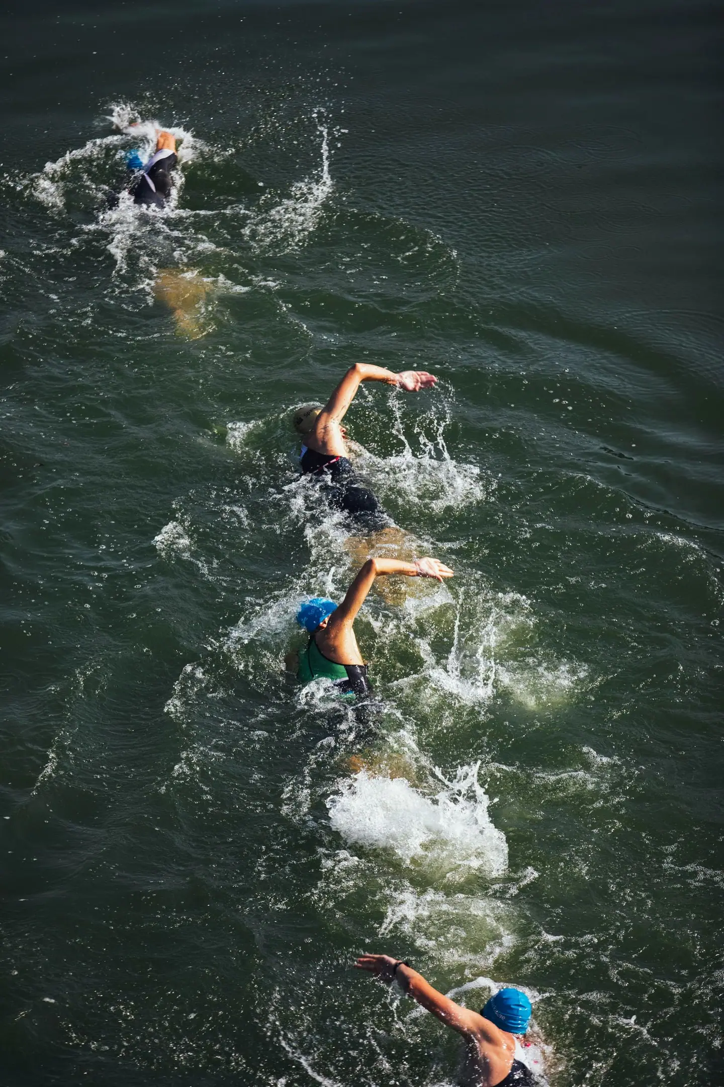
The day starts at the Tohickon boat launch in Nockamixon State Park near Quakertown, about an hour from Philadelphia and ninety minutes from New York. The swim is a rectangular course in clear lake water that is usually in the low to mid 70s °F in mid-May, so normally wetsuit legal. The start is a time trial, two athletes every few seconds, and you stay in the water for the second lap. You exit up the paved boat ramp, then run about 100 metres to transition.
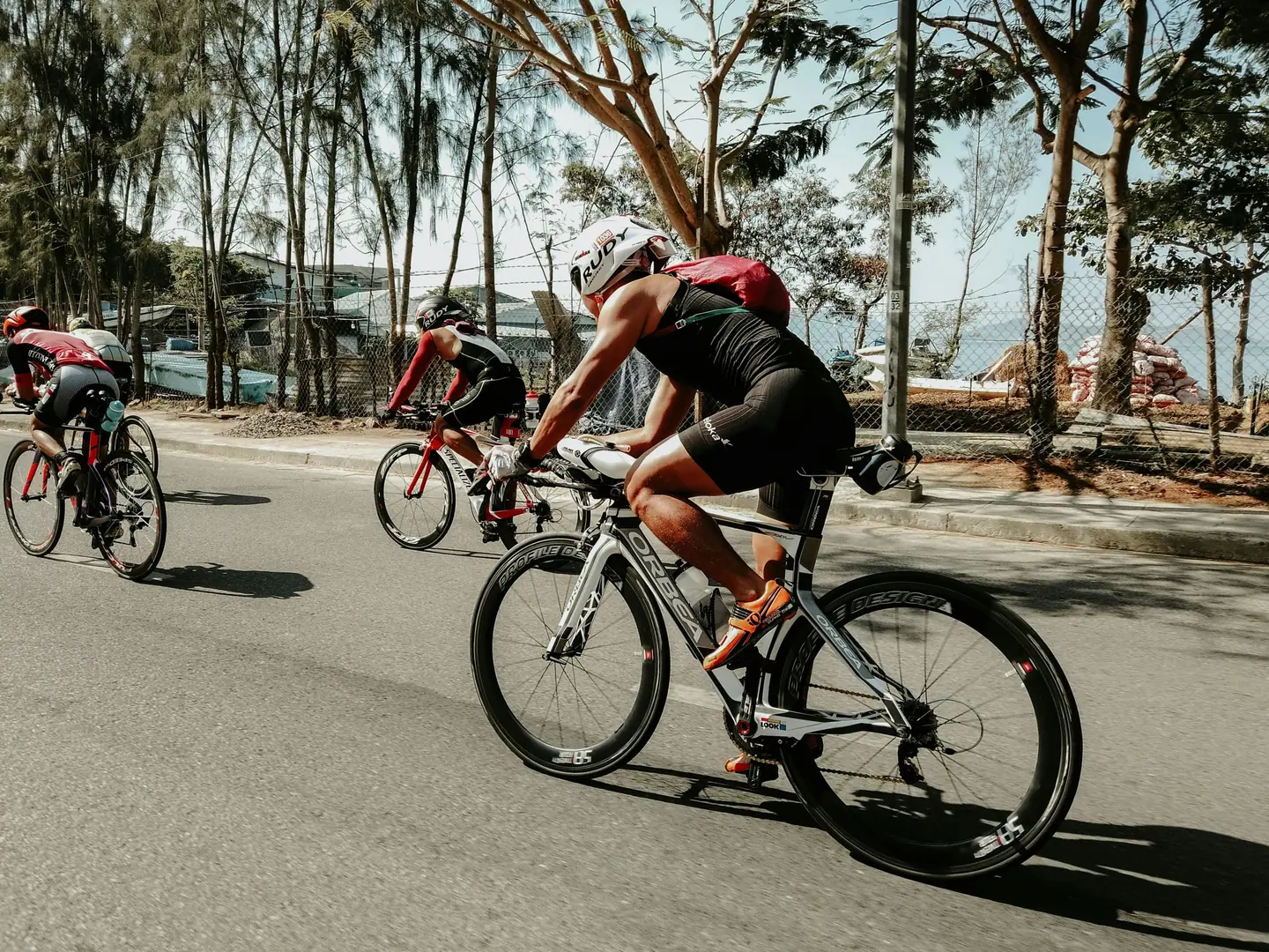
The bike leg uses the closed park road with turnarounds at each end, rolling but without long climbs; the hardest rise comes around 11 km on each loop. Then comes the coned-off shoulder of Route 563, where you run a gently rising out-and-back twice. Kinetic Multisports races are USA Triathlon sanctioned.
One consequence of the closed course: nobody can drive out of the race site until the last cyclist is off the course at about 10 AM. Plan your day around it.
+310 m
+81 m
Bike course
40 km · +310 m| Start | Length | Ø | Max. | Gain | Cat. |
|---|---|---|---|---|---|
| km 5.5 | 0.4 km | 3.7 % | 5 % | +16 m | — |
| km 8.2 | 0.6 km | 3.4 % | 4.5 % | +21 m | — |
| km 10.9 | 0.9 km | 3.7 % | 7 % | +34 m | — |
| km 23.2 | 0.5 km | 3.6 % | 5 % | +16 m | — |
| km 25.9 | 0.6 km | 3.5 % | 4.5 % | +21 m | — |
| km 28.6 | 0.9 km | 3.8 % | 7.9 % | +35 m | — |
Climb categories follow the road-cycling convention and rate the terrain itself (length and gradient) regardless of sport: Cat. 4 marks the easiest rated climbs, Cat. 1 the hardest, and HC (hors catégorie, “beyond categorization”) is reserved for the most brutal ascents. Short climbs below the Cat. 4 threshold stay unrated.
Run course
10 km · +81 m| Start | Length | Ø | Max. | Gain | Cat. |
|---|
Climb categories follow the road-cycling convention and rate the terrain itself (length and gradient) regardless of sport: Cat. 4 marks the easiest rated climbs, Cat. 1 the hardest, and HC (hors catégorie, “beyond categorization”) is reserved for the most brutal ascents. Short climbs below the Cat. 4 threshold stay unrated.
How to pace Independence Triathlon.
Settle into the race
The race is set up on the bike and decided on the second run lap. Swim under control, since the time-trial start spares you the scrum, and take the run from the boat ramp into transition calmly to bring your heart rate down before you mount.
Spread the effort
On the bike, the first loop is where discipline matters. The closed road invites speed, but every roller you overcook is missing on the second trip out along Route 563, where the same gentle rise turns heavy after almost two hours of racing.
Finish strong
A common first-timer mistake is drinking too little: there is no aid on the bike course. Carry what you need and drink from the first loop on so the two run laps do not become a dry stretch.
Training plan for Independence Triathlon: 12-week build
Build all three disciplines
Age-group athletes usually take two and a half to three and a half hours for the Olympic distance here. The effort is mostly aerobic and steady, with short spikes on the bike rollers and a hard final third of the run.
Brick sessions
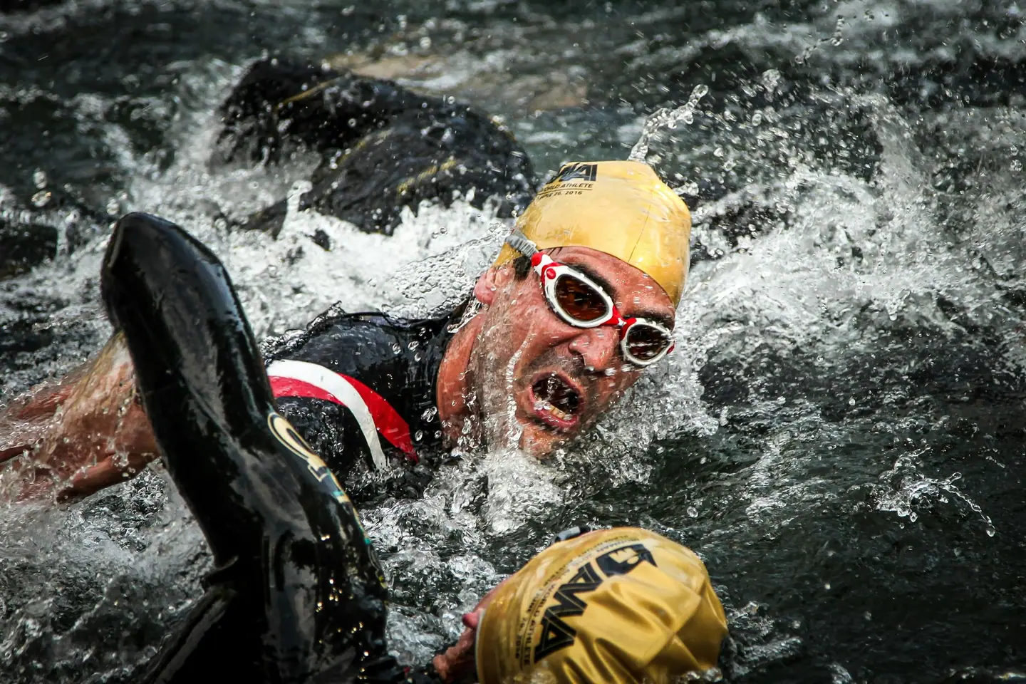
For the swim, open-water sessions in a wetsuit as soon as temperatures allow pay off, as does sighting practice: the course is marked with yellow triangle buoys at the corners and orange buoys every 75 to 100 metres.
Practise transitions
On bike and run, the combination counts. Train long bricks of 60 to 90 minutes of rolling riding at race effort followed directly by a 20 to 30 minute run, ideally on an out-and-back with a gentle rise.
Arrive fresh
With the race in mid-May, much of the preparation falls in winter and early spring. Schedule open-water and outdoor sessions early, and rehearse the full sequence once, with transitions, fuelling and kit.

Courses
Download each leg of Independence Triathlon as its own GPX file for your watch or bike computer.
Let YOUB adapt your plan for Independence Triathlon dynamically
Ben connects your goal, the course, current load, recovery, and calendar. Your plan stays pointed at race day even when real life is not perfectly plannable.
Everything about Independence Triathlon.
How long is Independence Triathlon?
Independence Triathlon is 51.5 km long. That distance shapes how much aerobic endurance, pace durability, and race-specific work belong in the training plan.
What is the profile of the bike course at Independence Triathlon?
The bike course at Independence Triathlon is classified as Rolling, averaging 8.6 vertical metres per kilometre. 48% of the route is flat, 26% climbs moderately (2 to 6%) and 0% is steeper than 6%.
What climbs does the bike course at Independence Triathlon have?
The hardest climb on the bike course at Independence Triathlon starts at kilometre 28.6, runs for 0.9 km at an average of 3.8% and gains 35 metres. 6 climbs are mapped in total.
Is there a GPX file for the Independence Triathlon course?
Yes. Each leg of Independence Triathlon is on this page as its own free GPX download — ready to import into Garmin, Wahoo, Komoot, Strava or any other app that reads GPX.
How should I prepare for Independence Triathlon?
Preparation for Independence Triathlon should account for 51.5 km, current training load, and available training time. An adaptive plan helps place key sessions without ignoring recovery and real life.
What pacing strategy works for Independence Triathlon?
The pacing strategy for Independence Triathlon should reflect 51.5 km and your current fitness. Start controlled and keep margin for sections where the profile or fatigue makes target pace harder.
When does Independence Triathlon take place?
Independence Triathlon takes place on May 16, 2027.
Where does Independence Triathlon take place?
Independence Triathlon takes place in Quakertown, United States.
Which distances does Independence Triathlon offer?
Independence Triathlon offers 4 distances — Independence Olympic Triathlon: 51.5 km; Independence Sprint Triathlon: 25.75 km; Independence Olympic Aquabike: 41.5 km; Independence Sprint Aquabike: 20.75 km.
How do I register for Independence Triathlon?
Registration runs through the organiser: kineticmultisports.com. YOUB shows you the course, elevation profile and training plan for your preparation.