North East Triathlon.
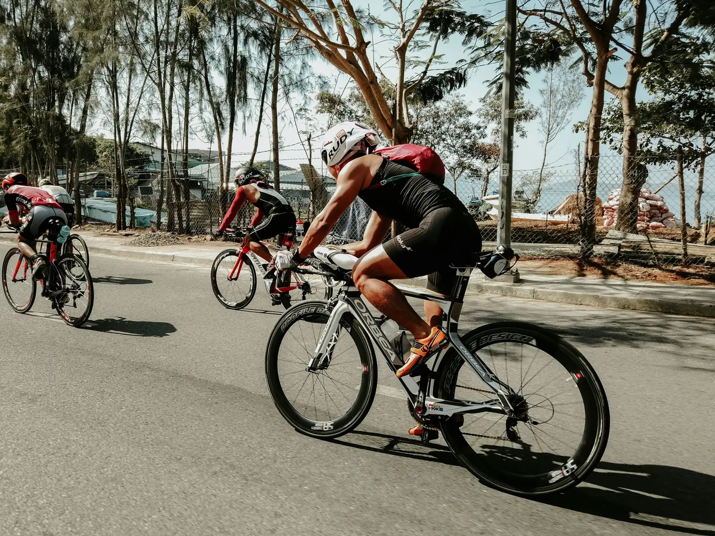
The North East Olympic Triathlon in North East, Maryland, combines 1.5 km of swimming in the Chesapeake Bay, a hilly bike loop of just over 40 km along Elk Neck State Forest and 10 km of running on the shoulder of Route 272. The race is decided on the bike and in the August heat that follows.
North East Triathlon 2027: Course, Elevation & Route Profile
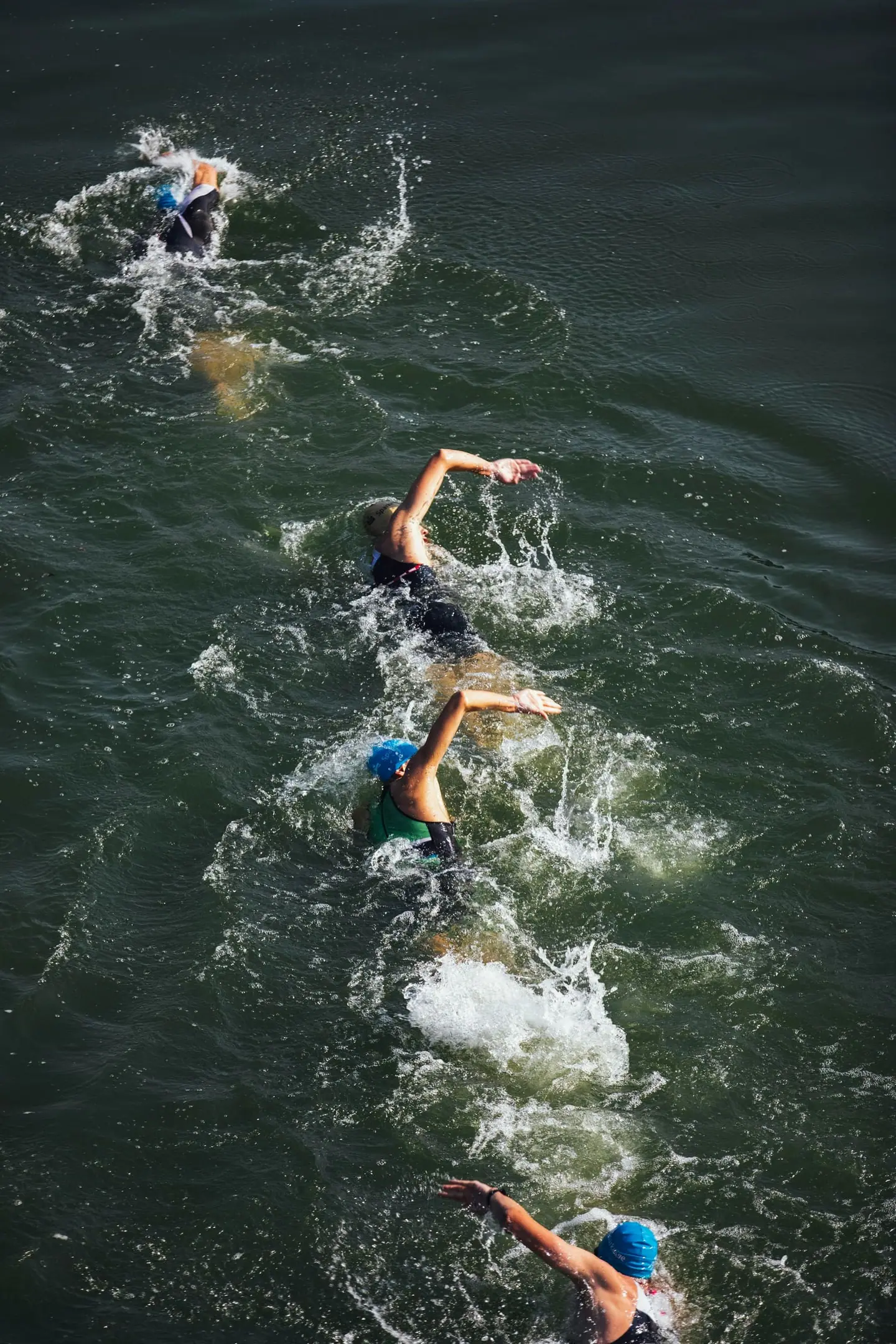
The swim is in the bay off North East Community Park. It starts as a time trial, two athletes every few seconds, with a jump off the dock into about 12 feet of water; no diving. The course is a rectangle with yellow turn buoys and orange sighting buoys every 75 m, and you climb out by ladder at the same dock. The Olympic swims two laps and stays in the water between them. In late August the organiser expects water in the mid to upper 70s Fahrenheit, close to the line above which a wetsuit costs you award eligibility.
From the exit you run to transition in the park; shoes may be staged at the dock. The bike first heads south on Route 272 and back, then takes a loop of small country roads with many short ramps and the longest climb at almost 30 km. The run then follows the same main road south to the turnaround at Mile 3.1 and back.
North East is a small harbour town at the head of the Chesapeake Bay, minutes from I-95. Kinetic Multisports runs the race as part of its East Coast series, with the Olympic and Sprint on the same Sunday morning.
+453 m
+72 m
Bike course
40.56 km · +453 m| Start | Length | Ø | Max. | Gain | Cat. |
|---|---|---|---|---|---|
| km 4.5 | 0.6 km | 4 % | 5.1 % | +24 m | — |
| km 7.4 | 0.6 km | 3.6 % | 4 % | +22 m | — |
| km 12.3 | 0.7 km | 3.4 % | 5.5 % | +22 m | — |
| km 14.4 | 0.5 km | 3.7 % | 6.3 % | +16 m | — |
| km 22.9 | 0.5 km | 3.4 % | 4.5 % | +16 m | — |
| km 24.8 | 0.7 km | 3.3 % | 5.2 % | +21 m | — |
| km 29.1 | 1 km | 4 % | 6.1 % | +40 m | — |
| km 30.4 | 0.3 km | 5.6 % | 8 % | +18 m | — |
Climb categories follow the road-cycling convention and rate the terrain itself (length and gradient) regardless of sport: Cat. 4 marks the easiest rated climbs, Cat. 1 the hardest, and HC (hors catégorie, “beyond categorization”) is reserved for the most brutal ascents. Short climbs below the Cat. 4 threshold stay unrated.
Run course
10 km · +72 m| Start | Length | Ø | Max. | Gain | Cat. |
|---|---|---|---|---|---|
| km 4.3 | 0.6 km | 4.1 % | 5 % | +24 m | — |
Climb categories follow the road-cycling convention and rate the terrain itself (length and gradient) regardless of sport: Cat. 4 marks the easiest rated climbs, Cat. 1 the hardest, and HC (hors catégorie, “beyond categorization”) is reserved for the most brutal ascents. Short climbs below the Cat. 4 threshold stay unrated.
How to pace North East Triathlon.
Settle into the race
Swim the first lap under control. The water is warm, possibly wetsuit-free, and an overcooked start costs more without the buoyancy. The trip from the dock to transition is part of the race, so breathe calmly and do not sprint it.
Spread the effort
On the bike the work sits in the second half: the loop from McKinneytown Road, with its many short ramps and the longest climb at km 29, decides what your run looks like. Ride the first 12 km on Route 272 too fast and you have nothing left there.
Finish strong
The trap is the flat, fast road back into town. Push again there and you run the 10 km in heat and without shade on tired legs. Drink enough on the bike, as there are no aid stations, and use every station on the run.
Training plan for North East Triathlon: 12-week build
Build all three disciplines
Expect about 2:30 to 3:30 hours in total, just under half of it on the bike. The effort is sustained just below threshold, restless on the rolling bike and steady on the run. The organiser sets a four-hour limit for the whole race.
Brick sessions
The bike loop is the focus: long rides on rolling terrain that string many short climbs together under control, with the hardest section at the end, plus cornering skills for the technical junctions.
Practise transitions
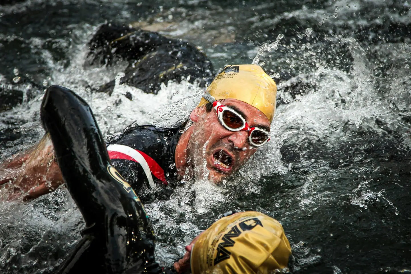
Bricks of 30 to 45 minutes of running after a rolling ride prepare you for the run. Swim training should include open water, the jump into deep water and sessions without a wetsuit in case the water is too warm on race day.
Arrive fresh
Above all it is a race in humid August heat, which the athlete guide warns about explicitly. Train part of your sessions in the warmth and plan fluid and salt for about three hours.

Courses
Download each leg of North East Triathlon as its own GPX file for your watch or bike computer.
Let YOUB adapt your plan for North East Triathlon dynamically
Ben connects your goal, the course, current load, recovery, and calendar. Your plan stays pointed at race day even when real life is not perfectly plannable.
Everything about North East Triathlon.
How long is North East Triathlon?
North East Triathlon is 52.06 km long. That distance shapes how much aerobic endurance, pace durability, and race-specific work belong in the training plan.
What is the profile of the bike course at North East Triathlon?
The bike course at North East Triathlon is classified as Rolling, averaging 11.2 vertical metres per kilometre. 30% of the route is flat, 34% climbs moderately (2 to 6%) and 0% is steeper than 6%.
What climbs does the bike course at North East Triathlon have?
The hardest climb on the bike course at North East Triathlon starts at kilometre 29.1, runs for 1 km at an average of 4% and gains 40 metres. 8 climbs are mapped in total.
Is there a GPX file for the North East Triathlon course?
Yes. Each leg of North East Triathlon is on this page as its own free GPX download — ready to import into Garmin, Wahoo, Komoot, Strava or any other app that reads GPX.
How should I prepare for North East Triathlon?
Preparation for North East Triathlon should account for 52.06 km, current training load, and available training time. An adaptive plan helps place key sessions without ignoring recovery and real life.
What pacing strategy works for North East Triathlon?
The pacing strategy for North East Triathlon should reflect 52.06 km and your current fitness. Start controlled and keep margin for sections where the profile or fatigue makes target pace harder.
When does North East Triathlon take place?
North East Triathlon takes place on August 22, 2027.
Where does North East Triathlon take place?
North East Triathlon takes place in North East, United States.
Which distances does North East Triathlon offer?
North East Triathlon offers 6 distances — North East Olympic Triathlon: 52.06 km; North East Olympic Aquabike: 42.06 km; North East Olympic Triathlon Relay: 52.06 km; North East Sprint Triathlon: 23.45 km; North East Sprint Aquabike: 18.45 km; North East Sprint Triathlon Relay: 23.45 km.
How do I register for North East Triathlon?
Registration runs through the organiser: kineticmultisports.com. YOUB shows you the course, elevation profile and training plan for your preparation.